Kamikochi: Alpine Valley & Autumn Trails
🗺️ Scope & Locations
- Days / Dates: October 19, 2025
- Locations Covered: Kamikochi Valley (Taisho Pond, Kappa Bridge, Myojin Pond, Myojin Bridge)
- Base Camp: Matsumoto
📝 Thoughts & Reflections
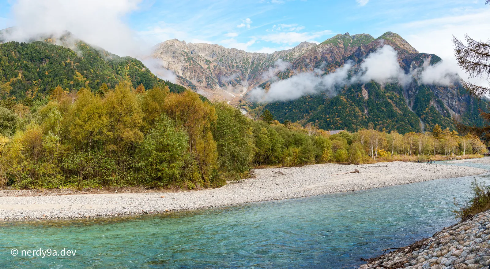
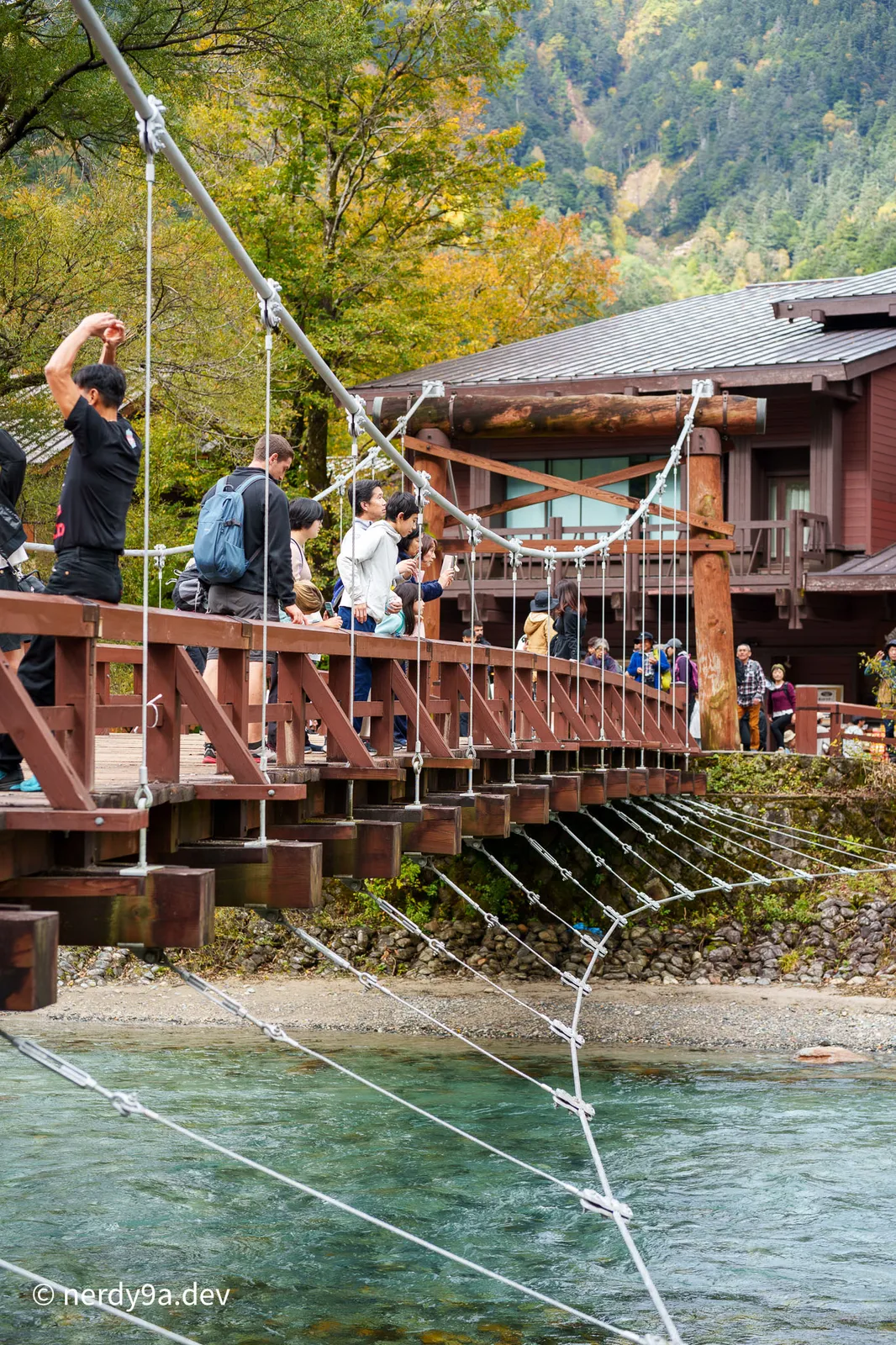
Initially, I didn’t feel that impressed by images of Kamikochi I saw online. In person, however, it is a completely different experience. Kamikochi is a stunning alpine valley with a crystal-clear river flowing through it, entirely surrounded by towering mountains. Walking along the valley path gives you a scenic 360-degree nature view at all times. Combined with the vibrant autumn colors, it is easily the best scenery of the trip.
The valley has a grand, dramatic feeling that reminded me of Yosemite in California. I found myself taking pictures at almost every step, literally! The section from Taisho Pond to Kappa Bridge is definitely the best trail.
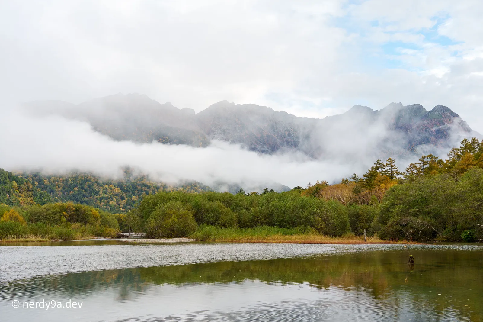 Misty morning views at Taisho Pond, where the peaks of the Hotaka range are draped in clouds
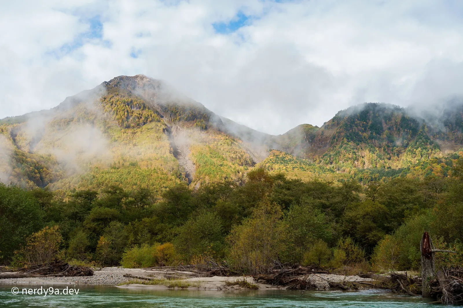 The Azusa River flowing under the misty slopes of Mount Yakedake
Stunning panorama of the clear Azusa River and the distant mountain range
The Azusa River flowing under the misty slopes of Mount Yakedake
Stunning panorama of the clear Azusa River and the distant mountain range
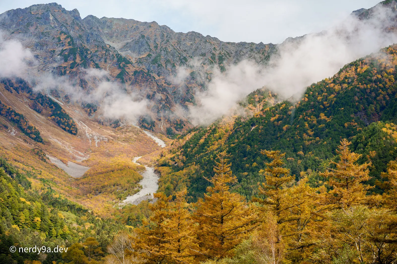 Vibrant golden larch trees beneath the dramatic, cloudy peaks of the Mount Hotaka range
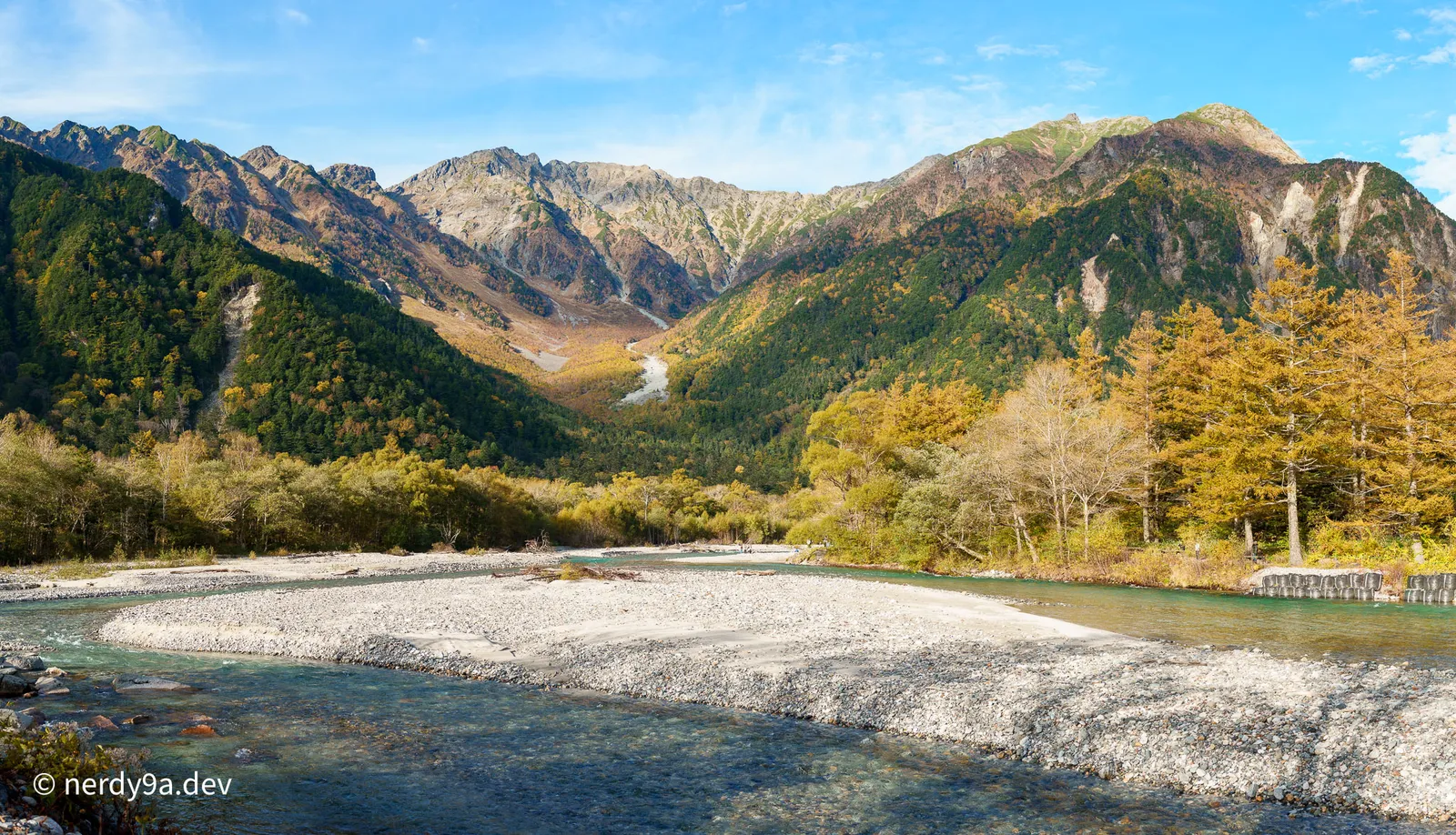 Stunning panorama of the Azusa River valley looking towards the Mount Hotaka range

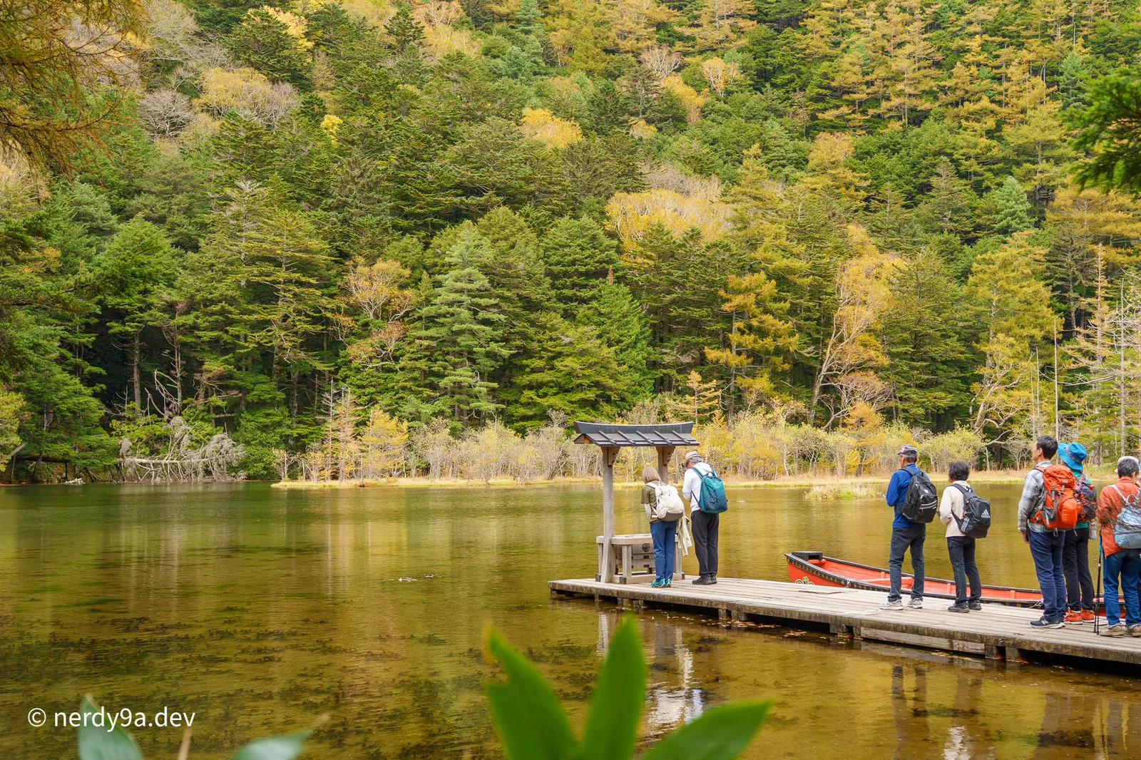 Tranquil scene at Myojin Pond featuring the wooden pier and red boat
🥾 Hiking Route & Map
Route Strategy
To avoid walking back and forth, a great tip is to get off the bus at Taisho Pond instead of Kappa Bridge (where most people get off). This allows you to walk a continuous, linear route through the valley without doubling back.
My route covered the main highlights of the valley in a single day:
Taisho Pond ➔ Kappa Bridge ➔ Myojin Bridge ➔ Kappa Bridge
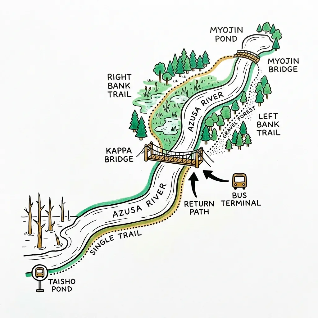
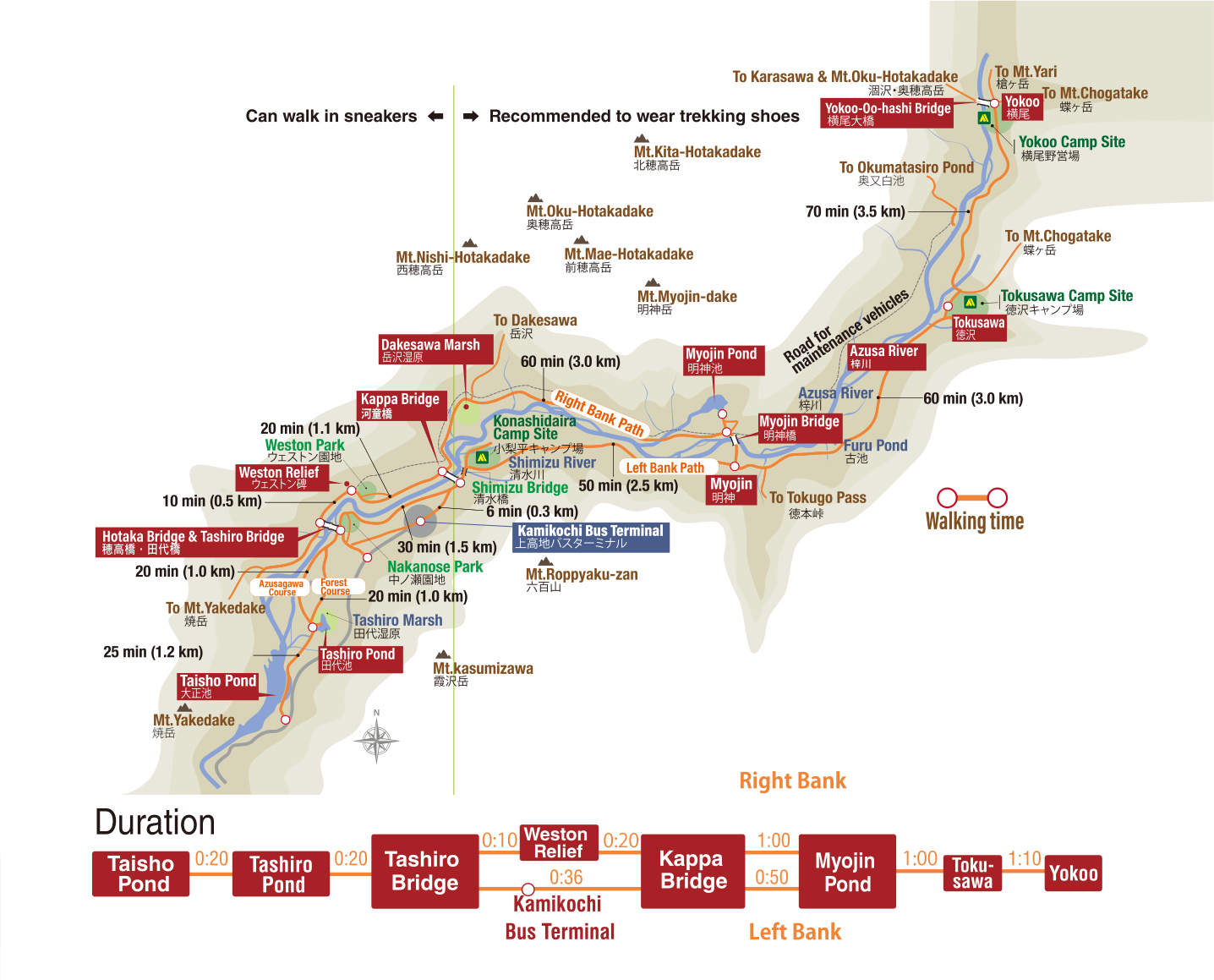 Map from the Kamikochi Official Website
💡 Logistics & Tips
- Go early and book in advance: I used Matsumoto as my base. It is a train ride followed by a bus to get there. I left Matsumoto at 6:30 AM and arrived in Kamikochi a bit past 8:00 AM. Booking bus tickets in advance is highly recommended to secure your spot.
- Flexible return: The return trip is quite flexible. I finished my hike earlier than expected, so I cancelled my original bus booking and easily booked a new return ticket online using my phone.
🗺️ Trip Navigation
« Prev: Togakushi Shrines | Trip Index | Next: Nikko: Temples →